 vesseltracker.com
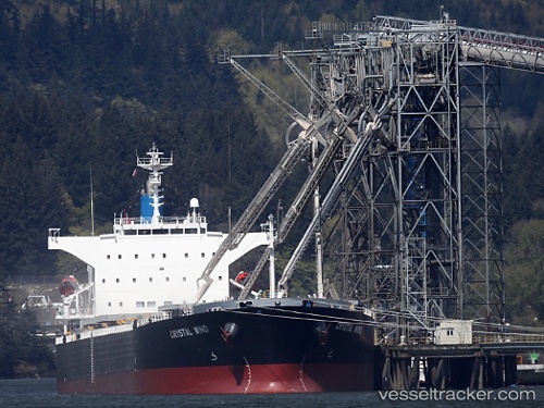
Vessel 'LEMESSOS WIND' IMO: 9516399, MMSI: 209677000
UTC, 30.03861, -90.68880, course: 224, speed: 0
UTC, 30.03856, -90.68880, course: 225, speed: 0
2026-02-13 05:34:46 UTC, 30.03860, -90.68882, course: 225, speed: 0
Live AIS position:
UTC. Near LUTCHER),
updated 2026-02-13 05:34:46 UTC.
Find the position of the vessel 'LEMESSOS WIND' on the map. The latter are known coordinates and path.
marine traffic ship tracker show on live map
The current position of vessel 'LEMESSOS WIND' is 30.03860 lat / -90.68882 lng. Updated: 2026-02-13 05:34:46 UTCDetails:
Last coordinates of the vessel:
UTC, 30.04485, -90.67620, course: 237, speed: 4UTC, 30.03861, -90.68880, course: 224, speed: 0
UTC, 30.03856, -90.68880, course: 225, speed: 0
2026-02-13 05:34:46 UTC, 30.03860, -90.68882, course: 225, speed: 0